Whispers of the sea – a walk along the Senda Litoral coastal path
Andalusia is known the world over for its exceptional walking and scenic routes, among which the Caminito del Rey stands out on its pedestal.…
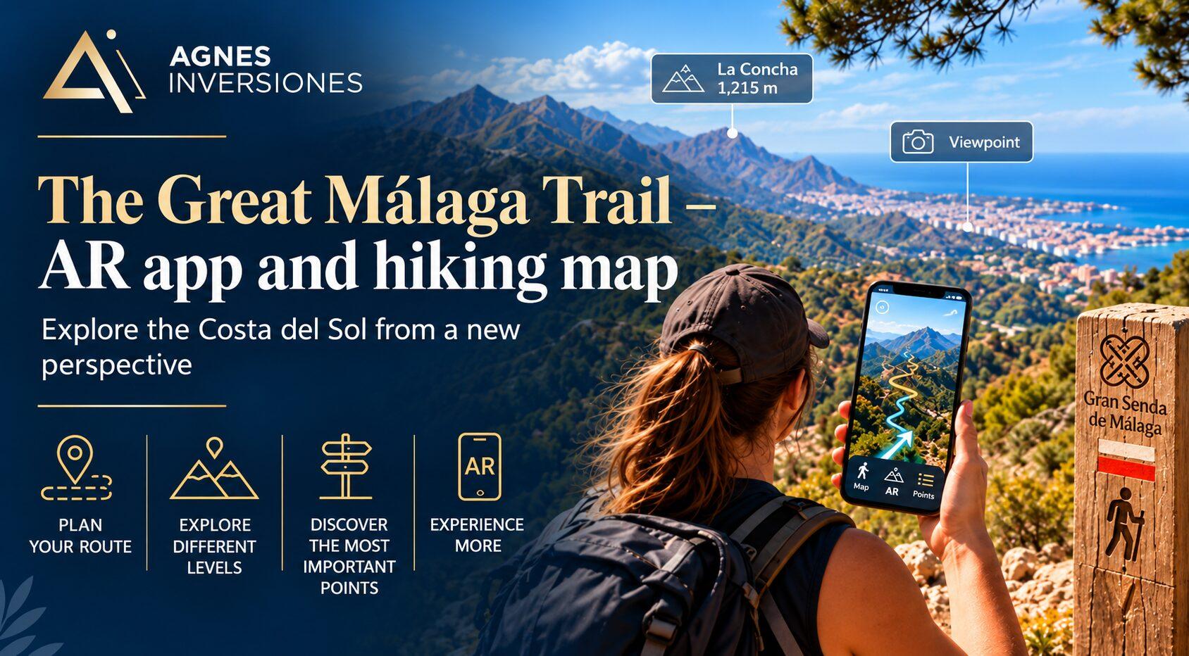
The Costa del Sol region is associated with sandy beaches, sunshine and luxury seaside resorts. However, it has much more to offer, particularly for fans of water sports and mountain climbing. Thanks to an app that uses augmented reality, you can explore hundreds of kilometres of mountain trails. The app will help you plan your exact route more effectively, determine the level of difficulty and provide information on the key points along the trail. We take a look at how the Augmented Reality Hiking app works and why it’s worth using it during your stay on the Costa del Sol.
What will you read about in this note?
The Department for Sustainable Development of the Málaga Provincial Council (Delegación de Territorio Sostenible de la Diputación de Málaga), the body responsible for managing sustainable development, environmental protection and tourism, has created an online browser and a virtual, interactive app for walking the Great Málaga Trail.
The browser is used to search for and plan routes along mountain hiking trails within the province of Málaga. The maps in the app cover 9 regions, 52 municipalities and 6 urban districts, as well as 4 nature parks, 2 nature reserves and 5 other protected natural areas. The total length of the network of hiking trails available in the app is as much as 850 km.
The network of trails winds its way through some of the region’s most exceptional spots, linking areas of outstanding natural beauty, charming villages and towns steeped in history. There are routes here to suit every level of ability – from scenic walking trails suitable for families with children to more challenging routes designed for mountain hiking enthusiasts. It is a good starting point both for those looking for mountain trails on the Costa del Sol and walking routes around Málaga, as well as for more challenging trekking routes.
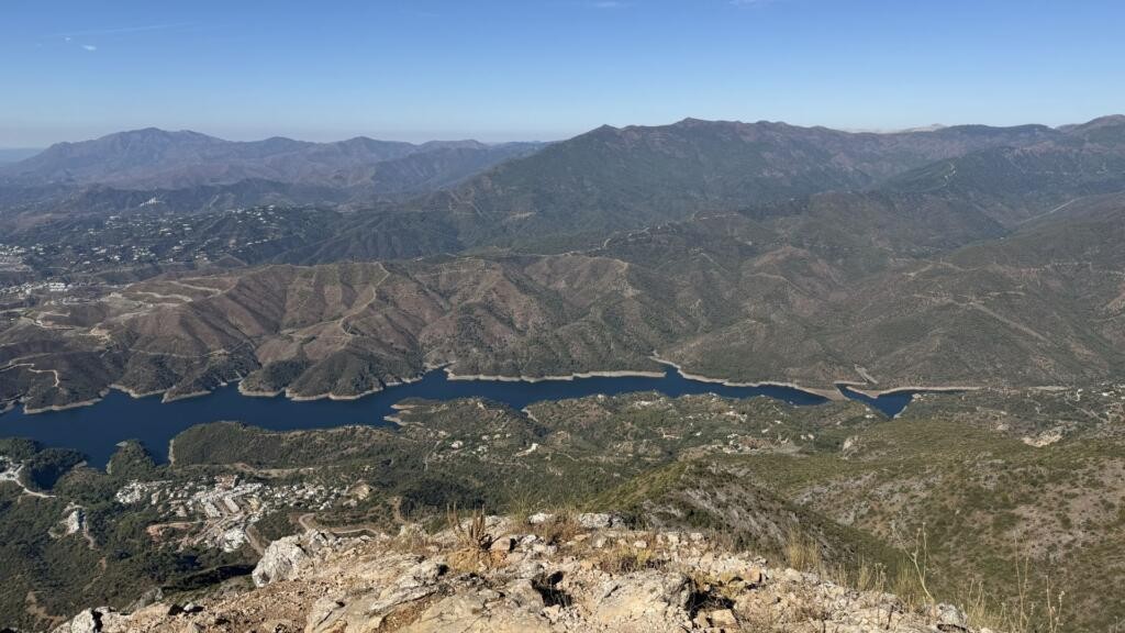
The Costa del Sol Department of Tourism and Planning has created a special tool – the Gran Senda de Málaga website – designed to make it easier to find information about mountain trails and plan routes along the peaks and coastlines of the province of Málaga.
The website contains detailed information and maps of the six most popular trails on the Costa del Sol: the Great Serranía de Ronda Trail, the Great Axarquía Trail, the Great Sierra de las Nieves Trail, the Great Mozarabic Way of St James, the Great Guadalhorce Trail and the Great Malacitano Geological Trail. On the website, you can also find out about current conditions on the trails and any changes regarding the accessibility of individual routes.
The website also features detailed information on other activities available on the Costa del Sol, such as kayaking, rafting, mountain trails with via ferratas, and geocaching. You’ll also find a version of the map for mountain biking enthusiasts, featuring marked cycle routes. The website’s creators recommend tried-and-tested local companies that specialise in the professional selection of equipment and training in a wide range of sports. This is an exceptionally convenient solution, as a single website is all you need to access all the necessary information, advice, news and maps required for practising outdoor sports in Andalusia.
The Sustainable Territory Department of the Málaga Provincial Council has also developed the ‘Augmented Reality Hiking – Gran Senda de Málaga’ app to ensure even greater comfort and safety for tourists visiting this region of Spain.
This is a digital map designed for mobile devices running one of the two most popular operating systems: Android or Apple’s iOS. The app does not use mobile data, but relies on the device’s GPS, meaning it can work efficiently even in challenging mountainous terrain where there is no mobile network coverage. All you need to do is download the app and the specific maps you need in advance for offline use. This also helps to minimise your phone’s battery usage during a long hike.
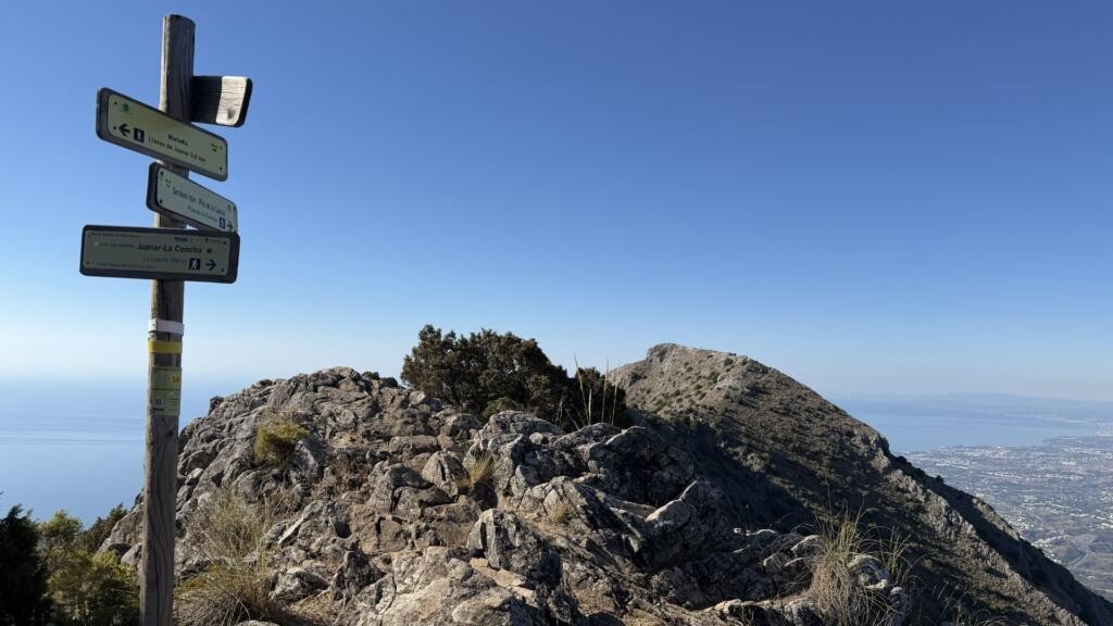
The app has been designed for lovers of the mountains, nature and trekking. Its innovative feature is that it uses augmented reality to help users navigate mountain trails in the province of Málaga. Along the routes, there are posts marking the trails and featuring a special QR code, designed to be scanned using a mobile device. Once the code has been scanned, the app displays the user’s exact location, showing – via green arrows – the direction to follow, as well as the distance to the next and previous waypoints. The route is marked with waypoints; those already passed are shown in green, whilst those yet to be covered are shown in red.
When searching for routes, each one contains detailed information on: the route name, the starting point and destination, the local authorities through which it passes, the type of route (linear or circular), the estimated walking time, total length in metres, trail markings, terrain type and its percentage of the total route length, maximum and minimum altitude, a photo gallery, the current elevation profile, and difficulty ratings according to the MIDE and SIDIF systems.
Andalusia is known the world over for its exceptional walking and scenic routes, among which the Caminito del Rey stands out on its pedestal.…
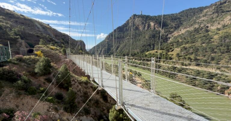
A footbridge stretches along the cliffs by the River Guadalhorce, at a height of 100 metres – the Caminito del Rey trail. It is…
The Método de Información de Excursiones (MIDE) is used to assess the difficulty of hiking routes. This tool helps you choose the most suitable route, tailored to your fitness level and skills. MIDE rates aspects of a route on a scale of 1 to 5, such as: its ruggedness, the difficulties encountered whilst walking the route, and the level of effort required to complete it.
SIDIF (Sistema de Información de Dificultad FEDME) is a system for assessing route difficulty that is more recent than MIDE. The system uses a graphical scale combining colours, shapes, symbols and numbers. It has been designed to be easily understood by the majority of the population, including people who have difficulty recognising colours, shapes, numbers or symbols.
To search for walking routes in the province of Málaga, you can use the Augmented Reality Hiking – Gran Senda de Málaga app. The app includes maps and detailed information about the routes and uses the device’s GPS, helping you to find your way whilst hiking in the mountains.
Trail maps can be found on the Gran Senda de Málaga website. The site covers an extensive network of routes across the province of Málaga, including mountainous areas, nature parks, nature reserves and other protected natural areas.
Yes. The Augmented Reality Hiking – Gran Senda de Málaga app is designed for people planning treks and walking tours in the province of Málaga. For each route, you can check details such as its length, walking time, elevation profile, terrain type and difficulty level.
Yes. Once you’ve downloaded the app and the relevant maps, you can use them offline. The app uses your device’s GPS, so it can also work in mountainous areas without mobile network coverage.
The Gran Senda de Málaga portal allows you to search for and plan walking routes within the province of Málaga. There are both easier scenic routes and more challenging trails designed for mountain trekking enthusiasts.
The portal contains information and maps of routes covering, amongst others, the Serranía de Ronda, Axarquía, Sierra de las Nieves, the Mozarabic Way of St James, the Guadalhorce and the Malacitano Geological Trail.
Yes. The routes are accompanied by information on, amongst other things, their length, estimated walking time, terrain type, maximum and minimum altitudes, and elevation profile. A difficulty classification according to the MIDE and SIDIF systems is also available.
Yes. The network includes routes of varying difficulty – from easier, scenic walking trails suitable for families to more challenging mountain routes. Before setting off, it is worth checking the details of a specific route and choosing one that suits the participants’ abilities.
The Gran Senda de Málaga app uses your mobile device’s GPS. On appropriately marked routes, once you’ve scanned the QR code, it can show your location, the direction of your walk and the distance to the next waypoints.
Yes. The website also features a map designed for mountain bikers, showing designated cycle routes. You can also find information there on other outdoor activities, such as via ferrata, canoeing, rafting and geocaching.
According to the information provided in the article, the network of trails available on the app comprises a total of around 850 km of walking routes across the province of Málaga.