Within sight of Marbella – a trip to Gibraltar
Marbella is an excellent starting point for those who prefer active sightseeing in Spain, but not only. Within a few dozen kilometers, there are…
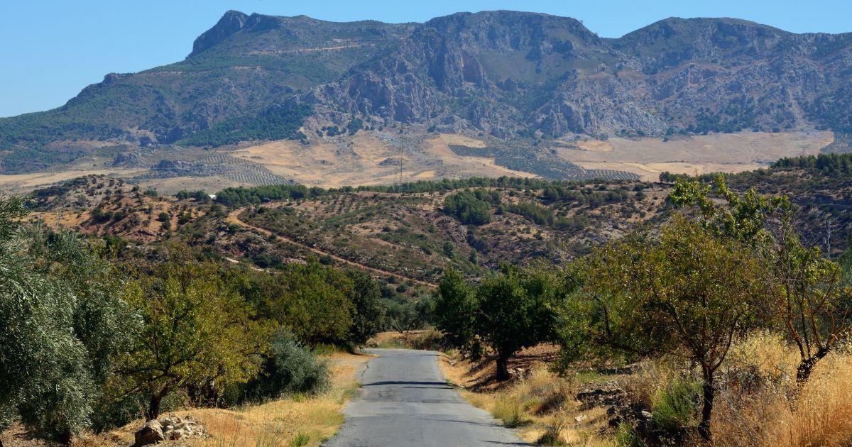
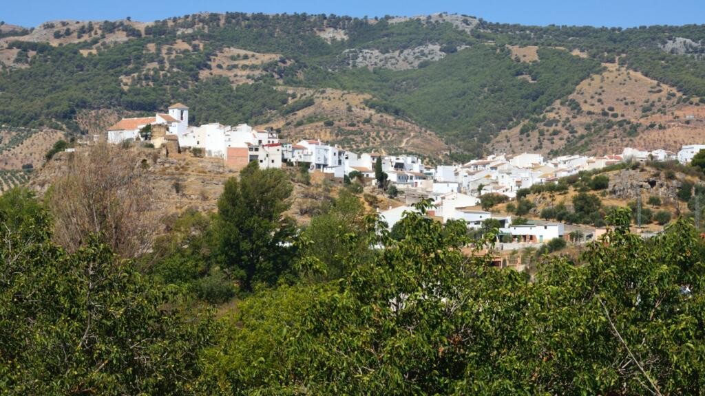
Here, you can visit picturesque white villages, set off on mountain trails and explore the landscapes of southern Andalusia, visit a number of caves, or take a dip in one of the natural pools and mountain pools. If you’re a fan of hiking, you simply mustn’t miss a visit to the Parque Nacional de la Sierra de las Nieves – Spain’s newest national park.
What will you read about in this note?
Just a 30- to 40-minute drive from Marbella, the landscape changes beyond recognition. Instead of beaches and palm trees, you’ll find limestone peaks, mountain streams and some of Andalusia’s most spectacular trekking peaks.
The name Sierra de las Nieves, meaning ‘Snowy Mountains’, refers to the snow that lies on the highest parts of the range in winter. In the past, it was collected in special snow wells and then used during the warmer months. The national park was established by Law 9/2021 of 1 July 2021, passed by the Spanish Parliament and approved and promulgated by the King. The Act was published on 2 July and came into force on 3 July 2021. However, even before being granted this status, the area had been inscribed on the UNESCO List of Biosphere Reserves, confirming its exceptional importance for the conservation of European nature.
The park is characterised by an exceptionally varied landscape, ranging from imposing mountain peaks and labyrinthine caves, through to mountain springs with healing properties, to spectacular gorges and karst sinkholes. It is a paradise for biologists, dendrologists, ornithologists and speleologists. The park’s floral emblem is the Spanish fir, an endemic species found only in the Spanish mountains at altitudes of around 900–1,800 metres above sea level, and a relict of bygone eras. The symbol of the local fauna, meanwhile, is the Pyrenean ibex. In addition, around 150 species of birds live here, such as the golden eagle, the peregrine falcon and the eagle owl. Other species characteristic of this area include, for example, the freshwater loach, the native crayfish and various bat species.
The highest peak in the range is La Torrecilla (1,919 metres above sea level), from which, in good weather, you can admire panoramic views of the Costa del Sol, Gibraltar and even the Rif Mountains in Morocco.
The trail starts and ends at the historic spa resort of Fuente Amargosa and follows the Río de los Caballos upstream. Along the way, you’ll see the region’s most popular waterfalls: Charco de la Virgen and the impressive Salto de la Rejía. The loop is around 10 km long, and there’s a car park at the start of the trail where you can leave your car.
This is a circular route, meaning you return along the same path. It is approximately 8 km long and takes around 3.5 hours to complete. The route begins on the outskirts of the town of Tolox, next to the Balneario Hotel, and there is a free car park at the start. It runs alongside the Río de los Caballos and the Vega de los Caballos. The destination is La Virgen waterfall.
The loop is approximately 15 km long, and the route is marked as difficult on the map. It includes steep ascents and descents, and passes through two impressive gorges: Barranco del Cuerno and Barranco del Ánimas. It passes by the province’s second-highest peak – La Torrecilla, at an altitude of 1,919 metres above sea level. Along the route, you can admire the park’s symbol – the Spanish fir (pinsapo) – as well as the limestone plateau of Quejigales, which stretches from the Pilones Pass to the foot of Torrecilla in Pilar de Tolox.
The route is fairly straightforward, with relatively little elevation gain, and despite the fairly long distance – around 9.5 km – it can be completed in 2.5–3 hours. The walk begins on the outskirts of the town of El Burgo, following the northern bank of the River Turón. Highlights along the route include two dams on the river, as well as the chance to go for a swim once you reach the first dam.
The Tajo de la Caína is one of the highest cliffs in the park, reaching a height of over 100 metres. The route boasts picturesque views of the Mediterranean coast and features as many as three viewing points (marked on the route as ‘mirador’). The trail forms a loop approximately 4.36 km long.
The trail begins with a fairly steep climb towards the summit of Cerro de los Pilones. However, the highlight of the route is not the summit itself, but the viewpoint below it – Puerto de los Pilones. The estimated time to complete this eight-kilometre loop is between 3 and 3.5 hours.
The route is considered one of the most physically demanding, as it passes over two peaks – Torrecilla and Cerro Alto (the route does not go directly over the summit, but skirts it along the slope). The elevation gain along the route is over 1,000 metres, and the trail is almost 20 km long. For this reason, it takes around 8 hours to complete the route. Along the way, you can also visit the Fuente de la Perdiz, or ‘Partridge Spring’, and explore the Sima del Tejo cave, which is situated along the trail.
This trail leads to one of the most popular and most beautiful spots in the Istán area. During the walk, you can enjoy stunning views, as the path winds through a lush forest of pine and cork oak trees and runs alongside the River Verde. The destination is Charco del Canalón – a natural pool, carved out by water in a rock basin, where you can take a dip. It is a one-way route, approximately 15 km in total, and the walk to the destination and back takes around 5 hours (not including any time spent stopping for a swim).
Marbella is an excellent starting point for those who prefer active sightseeing in Spain, but not only. Within a few dozen kilometers, there are…
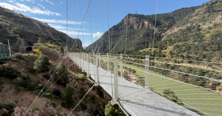
A footbridge stretches along the cliffs by the River Guadalhorce, at a height of 100 metres – the Caminito del Rey trail. It is…
The most comfortable conditions for trekking along the mountain trails of the Sierra de las Nieves are from March to June and from September to November. In summer, temperatures on the coast exceed 35 °C, which can be felt despite the altitude above sea level. In winter, on the other hand, snow falls on the highest peaks, which may also pose a challenge for inexperienced walkers.
Whether swimming is permitted depends on the specific location and the restrictions currently in force. Before entering the water, please check the signage and any notices issued by the park authorities. Swimming is not permitted in areas where it is prohibited.
Yes. Most hiking trails are open to the public and can be tackled independently, without a guide. However, you should always prepare thoroughly in advance: wear suitable footwear, check the detailed weather forecast before setting off, take an adequate supply of water and provisions, and familiarise yourself thoroughly with the route.